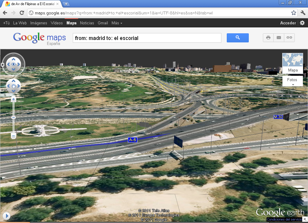
Google goes one step further with its Google Maps service and adds an aerial 3D view to the popular “Get directions” tool which indicates the best route between two or more geographic locations.
Search
Categories
- Cloud Computing
- Collaboration and Teamwork
- Databases
- DevOps
- Entrepreneurship
- GNU/Linux
- Networking
- Portfolio
- Productivity
- Programming and Web Development
- R&D and Innovation
- Reflections
- Security
- SEO – Website Optimization
- Tech News
- Tips & Tricks
- Troubleshooting
- Uncategorized
- WPO – Website Optimization
